Photography
Views from the world. If a photo is blurry, I guess your screen is bad.


Index
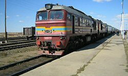
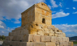
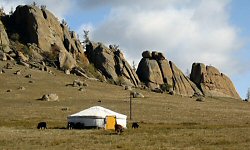
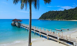
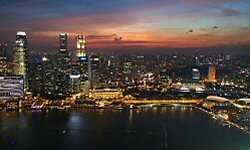
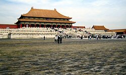
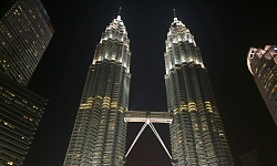
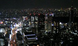
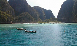
- Asia: Trans-Siberian railway - Iran - Mongolia - Japan - Perhentian Islands - Singapore - Korea - Malaysia - Thailand - China - Tokyo
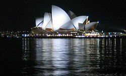
- Oceania: New Zealand - Australia
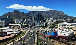
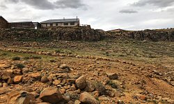
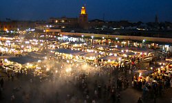
- Africa: Cape Town - Lesotho - KwaZulu-Natal - Morocco - Egypt
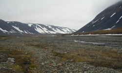
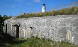
- Arctic archipelago: Svalbard
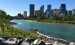
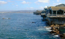
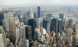
- North America: Southwest - Banff - New York - Canada - California - Washington DC - Las Vegas - New York - USA
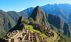
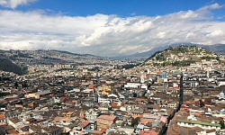
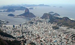
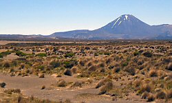
- South America: Peru - Ecuador - Chile - Brazil - Paraguay
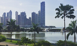
- Central America: Panama
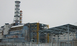
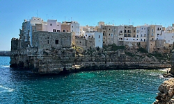
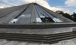
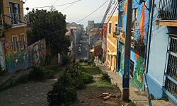
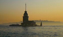
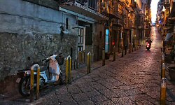
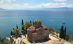
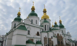
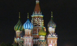
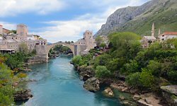
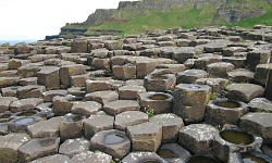
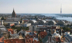
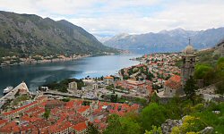
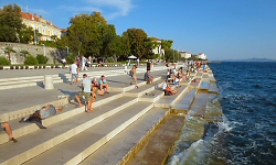
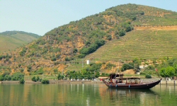
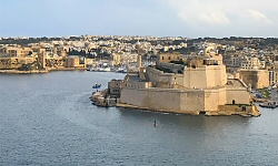
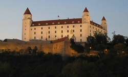
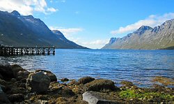
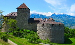
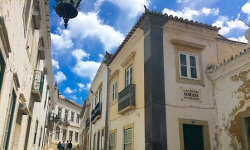
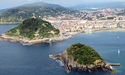
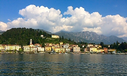
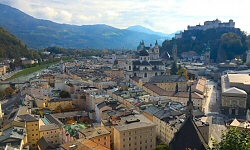
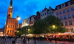
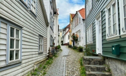
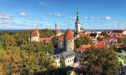
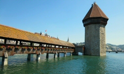
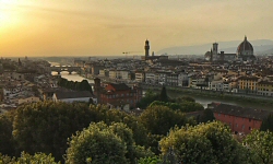
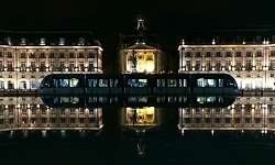
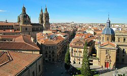
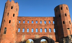
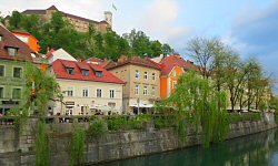
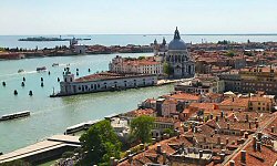
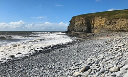
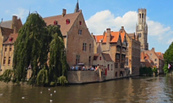
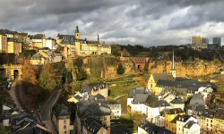
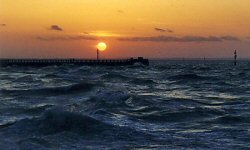
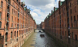
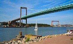
- Europe: Chernobyl - Puglia - Albania - Moldova - Istanbul - Campania - Macedonia - Ukraine - Serbia - Lithuania - Andalusia - Rome - Romania - Moscow - Hungary - Berlin - Bosnia and Herzegovina - Ireland - Latvia - Montenegro - Czech Republic - Bavaria - Kosovo - Croatia - Portugal - Scotland - Malta - Rhône Valley - Sloviakia - Tromsö - Liechtenstein - Algarve - Paris - Basque - Bulgaria - Provence - Lombardy - Austria - Poland - Western Norway - Estonia - Switzerland - Tuscany - Gironde - Spain - Piedmont - Slovenia - Venice - Catalonia - Wales - Belgium - Luxembourg - Costa Brava - Denmark - Aegean Sea - Lazio - Normandy - Europe - Sweden - Gothenburg - Concerts