Subway maps lie to you. Not maliciously, of course. They lie for your own good. They take the sprawling, chaotic underground plumbing of a city and turn it into something reassuring. Neat colored lines, evenly spaced stations and tidy little intersections.
Everything looks close. Everything looks manageable. Then you emerge from the station and discover that the place you thought was just around the corner is somewhere beyond the horizon.
The London Underground map is probably the finest example. It is rightly regarded as a design classic: simple, elegant and immediately understandable. It also bears only a passing resemblance to the geography of London itself. Rob Gardiner has created a fascinating visualization overlaying Tube maps on satellite photographs, revealing where the lines and stations actually sit beneath the city. It is the cartographic equivalent of seeing how the sausage is made.
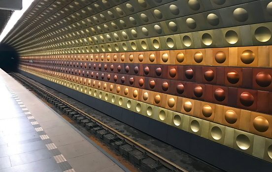 Subway station in Prague.
New York has its own subway-map obsessives. Graphic designer Eddie Jabbour has been trying to rethink the city’s familiar subway map, arguing that passengers might benefit from something that tells them not only how to get from A to B, but where A and B actually are. Read more about his project in this New York Times article.
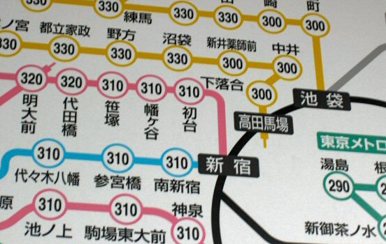 Tokyo subway map.
This raises an interesting question: what do we really want from a subway map? Personally, I think schematic maps are essential. When you’re standing underground in Tokyo, London or New York, surrounded by commuters who clearly know exactly where they’re going, you don’t particularly care whether the railway line makes a geographically accurate curve beneath the streets. You want to know which train to take, where to change and whether you’re about to disappear into the wrong end of the city.
But once you’re back above ground, geography matters again. Compare the subway map with a proper street map and suddenly the city begins to make sense. Stations that appeared miles apart turn out to be an easy walk. Others, seemingly intimate neighbors on the transit map, require considerably more enthusiasm.
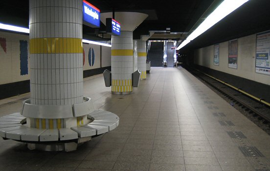 Subway station in Amsterdam.
And if you’ve ever wanted to carry subway maps around without tearing pages out of a Lonely Planet like some desperate backpacking vandal, there is another option. Travel site Amadeus.net has assembled hundreds of metro maps covering major cities across America, Europe, Australia, Africa and Asia.
Getting lost in a strange city can be wonderful. Getting lost three levels underground, staring at a badly illuminated sign while your train disappears into a tunnel, considerably less so.
Related posts
Comments
No comments yet.
Leave a reply