Yesterday Google updated their web application Google Maps, now including satellite photos from DigitalGlobe and Earthsat, covering United States and Canada.
It is fun to zoom in familiar places, such as the rusty Golden Gate bridge, french quarter of New Orleans, Boston’s North End area (what’s up with the Big Dig?), Manhattan… Hey, even Winnipeg can be found.
Look for the shadows cast from the tall buildings, the only way to extract any sense of height from the satellite photo. For instance, try the Washington Monument in central Washington D.C.
 What to look for.
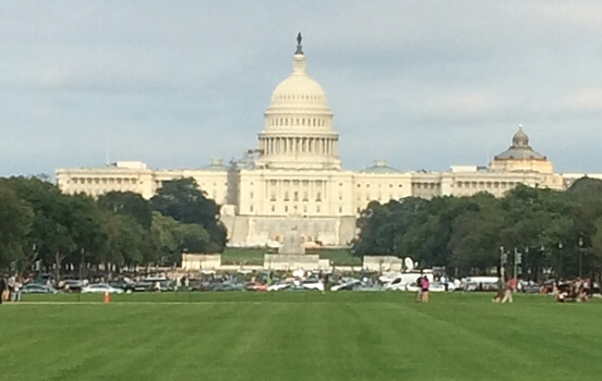
On the topic of Washington D.C., I noticed that the area around Capitol is blurred and only available at a far lower resolution than the rest of the town. Perhaps it’s another creative act from the Homeland Security department? If anyone wants to know the exact scale of that building, there are far more reliable sources than Google maps.
Update: The Capitol area is no longer dimmed and there is now satellite coverage of several major European cities.
Related posts
Comments
No comments yet.
Leave a reply